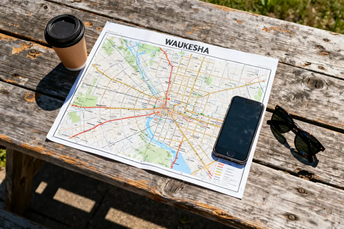
Key takeaways:
The waukesha map highlights crucial parking ramps such as the South Street and Transit Center, offering free two-hour parking Monday through Saturday from 8 a.m. to 6 p.m. An integrated online payment system allows visitors to manage parking conveniently, with license plate recognition enabling meter-free enforcement in designated areas. Downtown on-street parking features timed limits and varies during special events, requiring attention to signage for compliance.
Have you ever struggled to find hassle-free parking when exploring downtown Waukesha’s historic streets? Balancing the needs of visitors and local events can complicate parking, yet the city’s network of free and paid options aims to improve access and mobility. Understanding the parking payment procedures and the distribution of walking and bike trails helps maximize your visit while avoiding costly violations. With a detailed view of the city’s parking layout and trail connections, you can confidently navigate Waukesha’s downtown area using a comprehensive interactive map and digital resources.
Waukesha Map: Streets, Parking, and Walking Tours
Free Two-Hour Parking Details
Waukesha offers free two-hour parking in several key areas, including popular parking ramps like the South Street Parking Ramp and the Transit Center Parking Ramp. These spots provide convenient access to shops, restaurants, and cultural centers in downtown Waukesha. The free parking encourages visitors to spend time exploring the historic streets without worrying about meter fees.
The free two-hour parking is generally enforced Monday through Saturday between 8 a.m. and 6 p.m. On Sundays and holidays, the rules are relaxed but always double-check signage. Special events, like festivals or parades, may temporarily limit free parking availability or alter regulations, so visitors should stay alert for event-specific signs.
Many downtown streets also feature on-street parking with clear markings and timed limits, making it easy to find a spot near your destination.
Paying Online: How to Use the System
Parking payments in Waukesha have transitioned to a fully online system, enhancing convenience and contactless service. To pay, simply visit the official parking payment website or scan the QR code displayed on parking signs and meters.
When paying, be ready to provide your name, license plate number, email address, and billing information. Upon payment, license plate recognition cameras verify your parking status to avoid the need for physical permits or meters.
Using this system allows you to extend your parking session remotely via your smartphone, useful if you decide to stay longer downtown. Keep in mind the two-hour free parking still applies in designated ramp areas, so you only pay if you exceed that time.
Downtown Parking: Free Two-Hour Parking and Online Payment
Downtown Waukesha features a smart balance between free and paid parking. Public parking ramps provide ample space for visitors, and the free two-hour zones foster quick stops and easy access to downtown amenities.
Aside from the two-hour free parking window, payment enforcement generally runs from 8 a.m. to 6 p.m. Monday through Saturday. Enforcement is paused on Sundays and city-observed holidays. However, during special events such as the Farmers Market, street parking restrictions apply, temporarily suspending free on-street parking to accommodate vendors and crowds.
For the best parking experience, visitors should opt for the ramps during busy times, as these lots have the highest availability and offer smooth online payment integration.
- South Street Parking Ramp: Ideal for shopping and dining near Main Street
- Transit Center Parking Ramp: Convenient for accessing city transit and downtown events
- On-Street Timed Parking: Perfect for quick errands or pickups but limited during events
Author’s Note
« Taking note of peak traffic times between 11 a.m. and 2 p.m. on weekdays can save time when parking near downtown Waukesha’s popular streets. »
Walking and Bike Trails: Fox River to Riverwalk
Waukesha offers a beautiful network of walking and bike trails along the Fox River, leading to the scenic Riverwalk. Trails range from easy riverside strolls to more extended bike routes, supported by the city’s comprehensive trailway system.
While guides don’t always specify precise distances, the full Riverwalk stretches just over 1.5 miles, with notable trailheads offering access points every half mile. Walking between landmarks, like the downtown plaza and the historic bridge, usually takes around 15 minutes, making these routes great for casual explorers and fitness fans alike.
The Fox River Trail connects Waukesha to nearby communities and features well-maintained surfaces suitable for both pedestrians and cyclists, promoting sustainable urban mobility.
Historic Maps and Landmarks: Atlas and Railways
Exploring Waukesha through its historic maps and landmarks adds depth to any visit. The city’s 19th-century atlas maps reveal property boundaries, early developments, and railway lines that shaped the region’s growth.
Historic railways once served as essential corridors for commerce and commuters. Although many tracks are no longer active, their routes influenced current city planning and neighborhood layout, visible in today’s street grid and park configurations.
Visitors can also discover landmarks such as old train stations and vintage commercial buildings, some repurposed into museums or community spaces. These sites enhance understanding of Waukesha’s heritage and its evolution as a regional center.
Waukesha Map: Tips for Visitors
For a smooth visit, use an up-to-date waukesha map that highlights parking spots, trails, and street layouts. Peak traffic often occurs late mornings and early afternoons on weekdays, so plan trips accordingly to avoid congestion.
Parking lots adjacent to major shopping areas generally have the highest availability. When downtown is busy, ramps at South Street and Transit Center provide the easiest access, coupled with the online payment system for stress-free parking.
On-foot travelers enjoy the walkable downtown core, but wearing comfortable shoes is recommended since some streets feature cobblestone or uneven surfaces near heritage buildings.
Lastly, check event schedules to avoid surprises with parking restrictions or trail closures, ensuring your trip is both pleasant and efficient.
🗺️ Waukesha Map Parking Time Calculator
Estimate your parking cost and duration based on your planned stay downtown.
FAQ — waukesha map
What cities are included in Waukesha County?
Waukesha County includes multiple cities and communities, with Waukesha as the central city. It encompasses a range of suburban areas and neighboring towns that form part of the greater Waukesha region.
Why is Waukesha famous?
Waukesha is famous for its historic downtown, cultural landmarks, and scenic trails along the Fox River. It is known for its balance of heritage sites, vibrant community events, and accessible parking options supporting local shopping and tourism.
What is the black population in Waukesha, Wisconsin?
The black population in Waukesha, Wisconsin, is part of the broader demographic makeup of the city, contributing to its cultural diversity within the community's social and economic life.
What suburbs are in Waukesha?
Waukesha includes various suburban neighborhoods and communities within its city limits and surrounding county areas, offering residential options and access to downtown amenities and transportation.
What is included in a Village of Waukesha map?
A Village of Waukesha map typically includes street layouts, parking areas, zoning districts, and landmarks to help residents and visitors navigate the area effectively.
How can I find a street map of Waukesha, WI?
Street maps of Waukesha, WI, provide detailed views of city roads, parking facilities, and trails, helping visitors locate downtown attractions and plan their routes for driving or walking.

John has been passionate about furniture and interior design for over a decade, combining his love for vintage pieces with modern styling techniques. After years of helping friends transform their spaces and restoring countless furniture finds, he started this blog to share his expertise and inspire others to create homes they truly love. When he’s not writing or hunting for unique pieces at estate sales, you’ll find him refinishing a mid-century dresser or experimenting with new room layouts in his own ever-evolving home.